Lady Talbot Forest Drive
Page 4
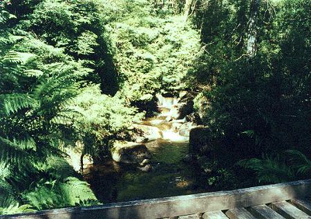 |
Above is the wooden bridge over the Taggerty River.
This is known as the Taggery River Crossing.
|
|
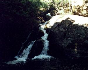
Just over the Taggerty River to the left is a car park, picnic tables, an Information Board and the Rain Forest Walk. About 100 metres into the walk is the Taggerty Falls, shown above right.
 |
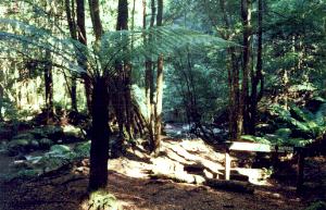 |
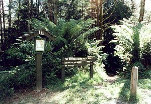
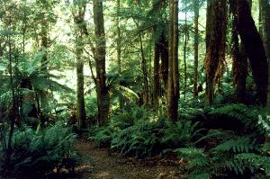
Along the walk to the Meeting of the Waters, which is 600 metres from the car park, the rain forest looks like the photo above left. The meeting of the Waters is where the two rivers, the Taggerty River and Whitehouse Creek combine. The walk takes you to a small peninsular where you have the Taggerty River on your left, the Whitehouse Creek on your right, and the meeting place straight ahead. A wooden signpost informs you of this occasion, picture above right.
From here you may follow the path which follows the Whitehouse Creek back up to the Beeches, or return to your car.
Taggerty River Crossing |
||
Meeting of the Waters |
Lady Talbot Drive Attractions |
|
| Marysville Museum | Alexandra Tram Museum |
The Up Button takes you to the Home Page.